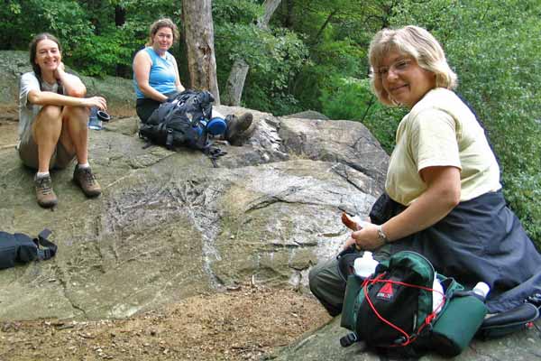
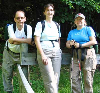
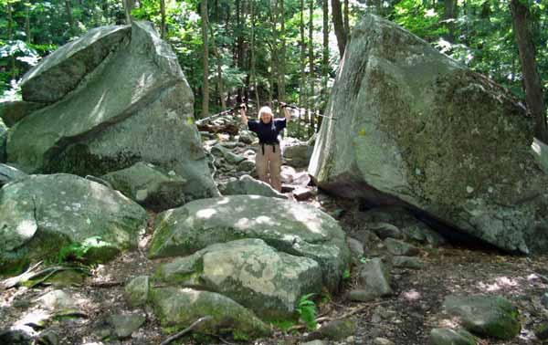
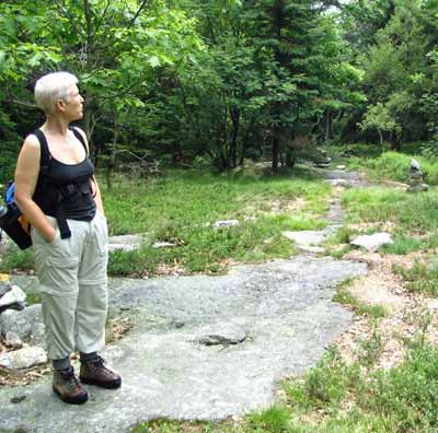
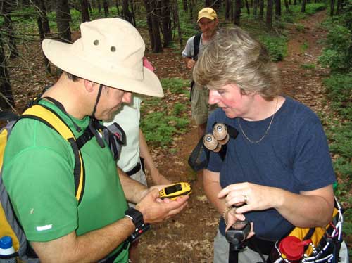
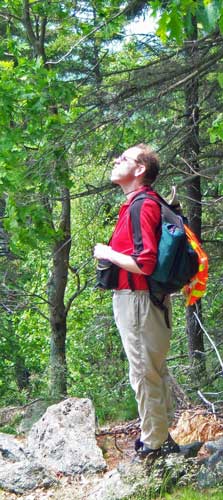
Middlesex Fells - September 13, 2008
Activity and trip report by Ken L.Kris, Yvonne, Kathy "Welcoming
Committee / Motivator" K., and Your Webmaster decided to head over to the
Middlesex Fells in Melrose, Mass and attempt to find our way around the
reservoir and to find a few geocaches. We did neither, but we did have
a nice walk.
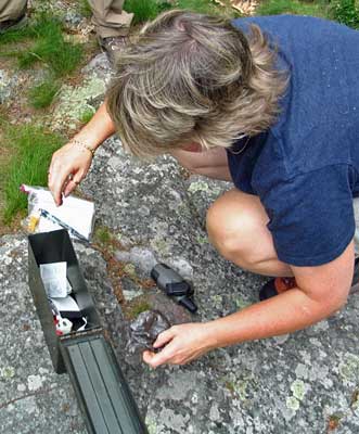
 |
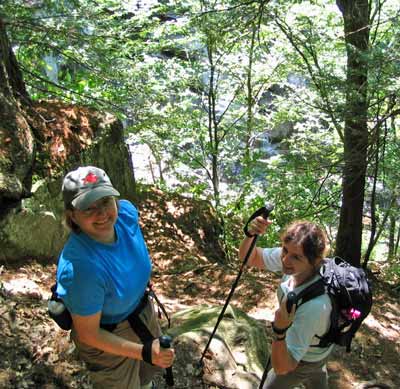
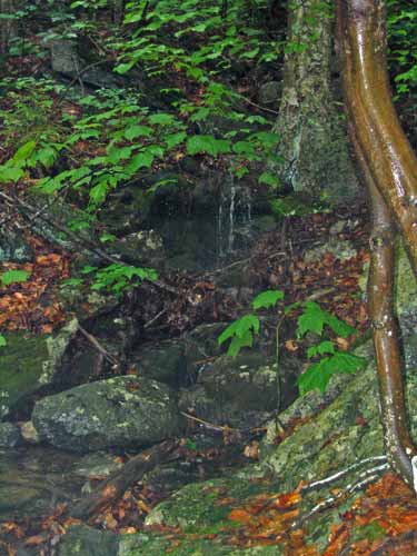
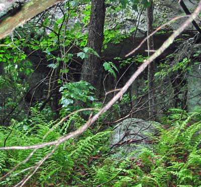
<-- Here we are all completely thrilled to find the
Silver Mine. Yes, it's an old silver mine. Right now it's a
small hole through a hunk of concrete. Yawn. OK, well, we
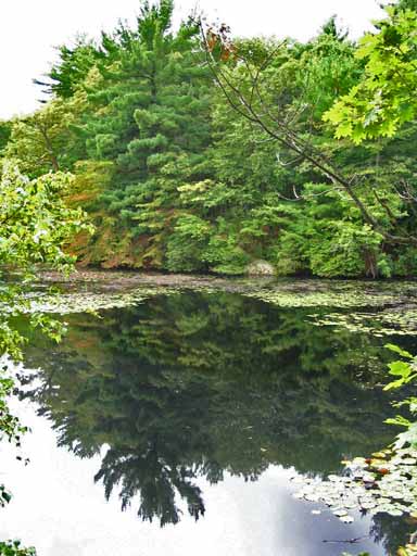
wandered on to find Long Pond, which has a great place to sit.
Even with the GPS and a map it was hard to find from the Sheepfold
Parking lot, but we did.
 |
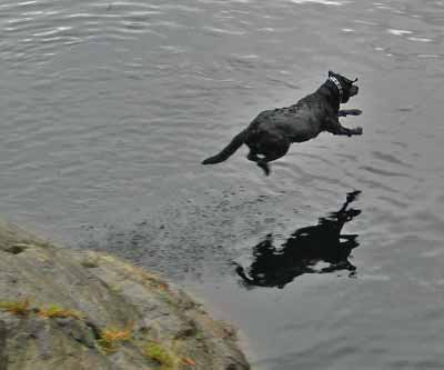
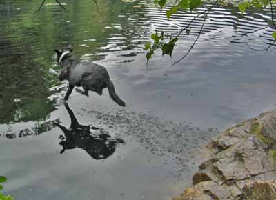
Some dogs came by to visit us, and this Black Lab really
loved to jump off the rock and go after a tennis ball thrown into the water!
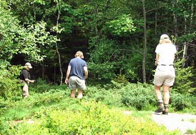
After a snack or two near the pond, we made our way back
onto the trail and were supposed to go around the reservoir and up to the
tower at Bear Hill, but, well, we didn't quite make it around the
reservoir but went back pretty much the same way we came out. Yes,
even with the GPS and the map.
Nonetheless...it was a decent walk, and it was fun watching
the dogs jumping off the rocks. |
Morgan-Percival - August 31, 2008
Activity and trip report by Ken L.
Photos by Ken L., Sandy, and Kris
|
 |
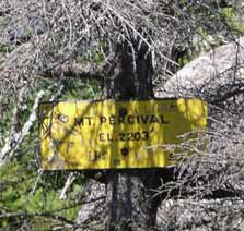
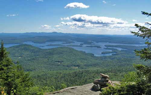
Mts. Percival and Morgan are two 2200' or so hills on
the northern edge of the Lakes Region of New Hampshire. They're
pretty much right across the street from Squam Lake, and you can get a
great view of the lakes from both of these summits.
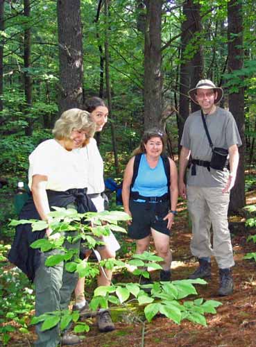
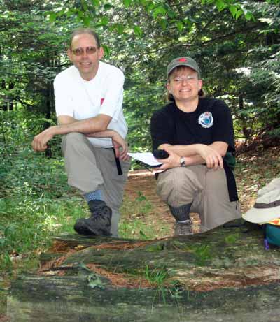
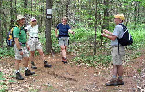
Kris, Sandy, Susan, and Your Webmaster decided to head
out on this wonderfully sunny day and do the loop over the two summits. |
Your Webmaster had not yet taken the new trail that connects
the busy parking lot to the trail up Mt. Percival, but it was nice not to
have to wander down the road as we'd done in the past. In addition to
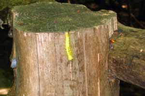
some yummy blackberries, we encountered some amusing bits of fauna, one of
them a fluorescent yellow caterpillar.
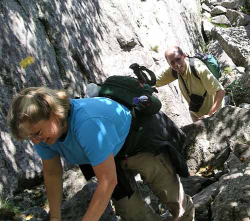
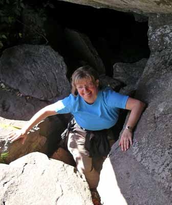
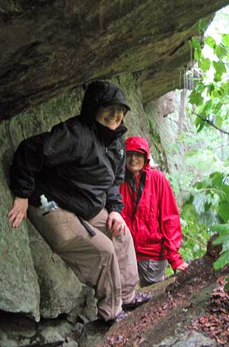
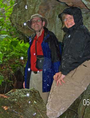
| The hike up Mt. Percival gets interesting near the top
where there is a rock fall cave to get through. Yes, there is an
option to go around that, but...ummm...why? :-)
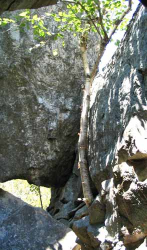
Yep, that birch tree is still there...
inside the cave |
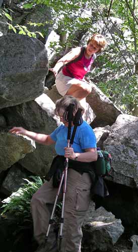
Susan and Kris approach the cave |
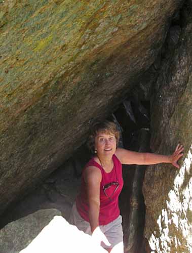
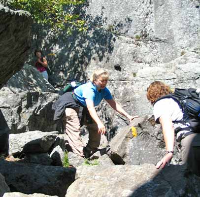
Kris lends a hand
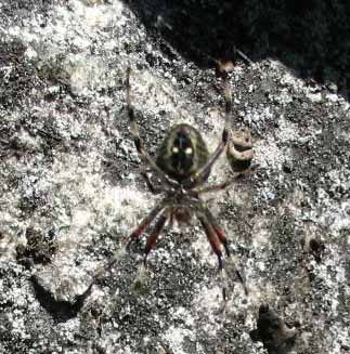 |
Watch out for the big, scary spider as you come out of the caves and
head up to the summit! |
Ya know, it would figure...
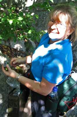
Kris found a geocache...without a GPS!
|
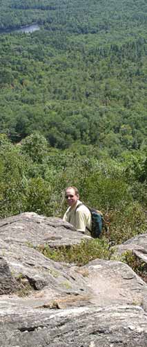 |
Not far after the cave is the summit of Mt. Percival.
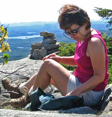 |
Lunch!
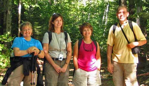
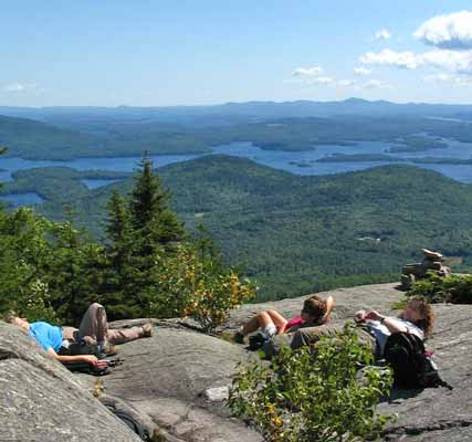
The Rattlesnakes and Squam Lake
After our brief (ummm...well, it was a nice day, so maybe it
wasn't all that brief) stay for lunch, we walked over the ridge to Mt.
Morgan where plenty of people and a few pups were milling around.
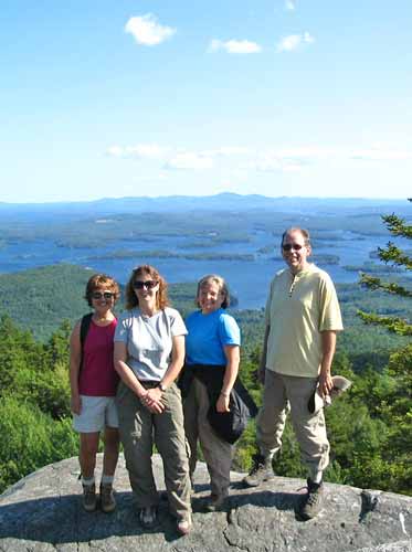
We found someone to grab a photo of us. Thank you!
| BEHIND THE
SCENES... |
| "Where's my agent!!?!?!?!"
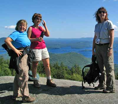
GONewEnglanders waiting around for the photo to be
taken at the top of Mt. Morgan. |
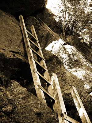
After a pause at the top of Mt. Morgan to check out the
scenery some more, we went down the difficult part on the south cliff and
through the rock fall cave to the ladders.
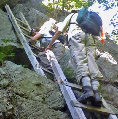
Yep, that can be a bit daunting when heading down, but
everyone made it just fine.
After our hike we went out for some dins at a restaurant
along the lake where we saw people tubing and water skiing, and, despite
the commotion, some loons were swimming about.
It was a beautiful day for hiking Mts. Percival and
Morgan! These trails do attract a few people, but there's generally
plenty of room for everyone.
|
Mt. Ascutney - August 23, 2008
Activity and trip report by Ken L.
Photos by Ken L. and Sandy
 |
Your Webmaster, Sandy, and Kris decided to hike Mt.
Ascutney in eastern Vermont. Your Webmaster and Kris pitched a
tent in West Lebanon, NH, and awoke to foggy, cool weather. Would
things clear out for our hike?
We drove over to the Weathersfield Trail's trailhead at Mt. Ascutney
where we met Sandy. By that time the sun had started to come out,
and we were in for a great day.
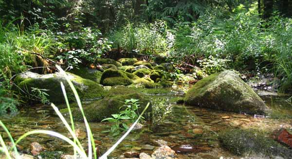
The hike started out nicely...in nice cool woods, across a few brooks
with some small cascades...but then we were greeted by something very
stinky. No, it wasn't stinky hikers. We don't know what it
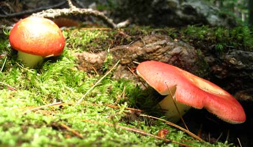
was, but it was nasty. We suspect it was something like this
fungus
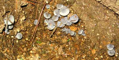
which was all over the place, but we don't know. |
We reached the top of Cascade Falls, which drops off very
steeply behind Kris in the picture below.
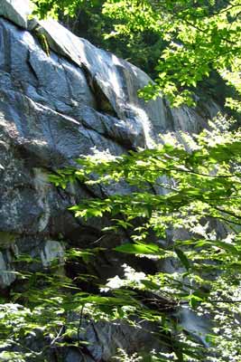 |
 |
We made a good go at finding a geocache within a few feet of the top of
the falls, but we came up empty. So we continued on to the summit and
plopped down for lunch, having earned a bit of a rest after reaching 3143'.
| BEHIND THE
SCENES... |
| Get Outdoors New England goes behind the scenes to see how many of
these awesome pictures were done.
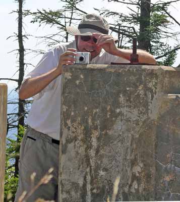
Yep, that's pretty much it. |
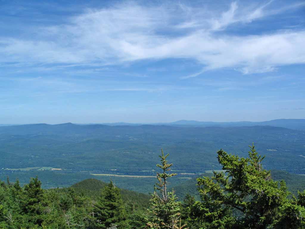
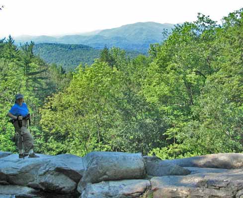
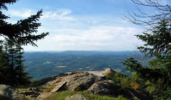
After our stop near the radio towers, we went over to the
summit, where, to our surprise, is a tower where the view 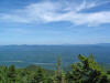 is spectacular in all directions. What's more is Mt. Ascutney has a
place from which hang gliders launch, and they were up taking advantage of
the breezes.
is spectacular in all directions. What's more is Mt. Ascutney has a
place from which hang gliders launch, and they were up taking advantage of
the breezes.
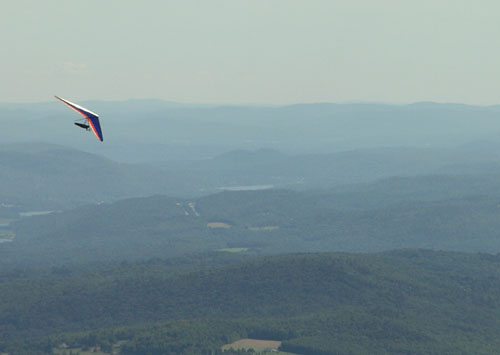
Outstanding!
We tried to find out where they launch from, but we came
up empty. Kris and Sandy decided to head back down the trail, and I
thought I'd give one more side trail a look...
...yep, there it was, a wood platform from which the hang
gliders go sailing. The view from there was...well, really
something, so instead of trying to catch up with Kris and Sandy along the
trail, Your Webmaster stayed on the platform for a while and chatted with
some people who showed up. Yep, Sandy and Kris missed it. Oh
well, next time!
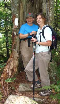
| I caught up with Kris and Sandy along the trail,
stuck them in a huge hollow tree, and got this picture. -->
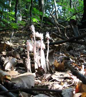
Indian Pipe |
 |
Mt. Ascutney's Weathersfield Trail is a wonderful hike.
The views from the tower at the top are some of the best anywhere.
It's exciting to see the hang gliders flying around, too. Yes, you
can drive up to the top of Mt. Ascutney, but why pass up the chance to see the small cascades,
Cascade Falls, the big hollow tree, and the smelly fungus? Put on your hiking boots and
walk up one of the many trails instead!
|
Kidder Mt. - July 19, 2008
Activity and trip report by Ken L.
| Kris and Your Webmaster decided to head on over to
Kidder Mt., which is not far from the center of Temple, NH. It's
an easy hike along an old road, then it's a left turn at the power lines
to continue along the trail to the summit of Kidder, which is about
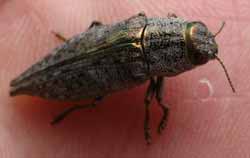
1858'. The trail was covered with these little guys:
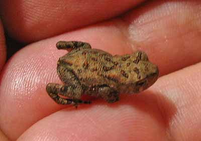
There were thousands of them all over the place! |
 |
Along our way Kris and I found...
 <-- Loads of these!
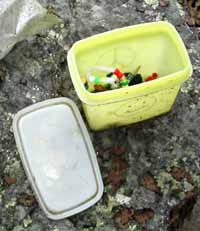
 <-- A geocache!
Kidder Mt. is a nice hike. From one route it's short,
but the route Your Webmaster normally takes is about 5 miles of easy walking
to a nice place to stop for lunch. Bring sunscreen, and watch out for
all those little toads! |
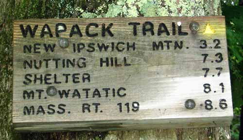
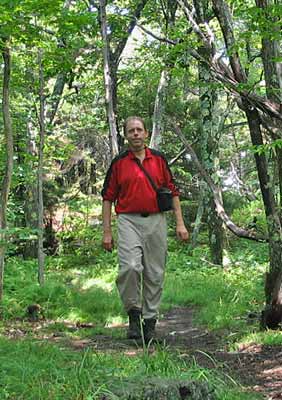
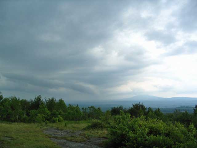
Mt. Watatic - July 13, 2008
Activity and trip report by Ken L.
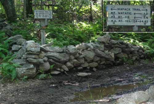
Ironically at the other end of that section of the Wapack Trail from
where we started in New Ipswich on June 29, there's Mt. Watatic with its
short but steep front side climb, great views, and nice trail down the side
of the old ski area.
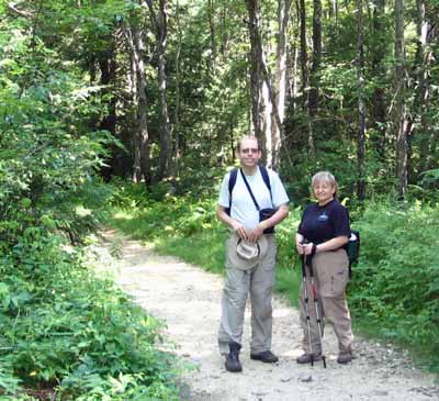 |
Your Webmaster and Kris decided to take a hike up Mt.
Watatic and loop around the other side, starting from the parking lot
along Rte. 119 in Ashburnham, Mass. Another goal for the day?
Hunting these things:
 |
A short walk along the trail from the parking lot is a huge
split rock:
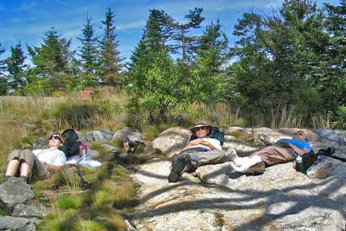
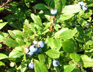
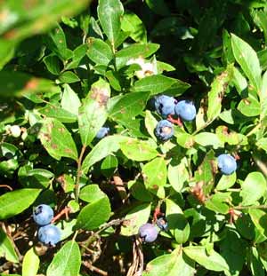
From there it's on up the front side of Mt. Watatic--munching
blueberries along the way--to the summit, then over to the rocky outlook to
laze out in the sun...
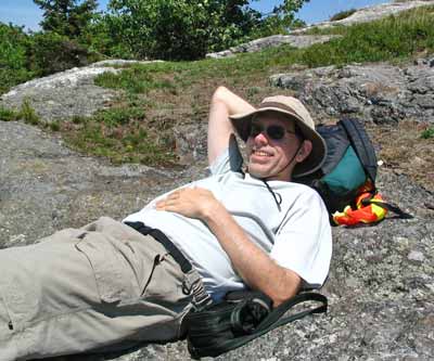
...which Your Webmaster does very well.
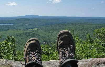
Feets.
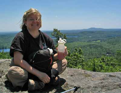
Kris always has her ice tea!
| In addition to grabbing some blueberries, Kris found a
geocache near the summit, and we made our way down the old ski area side
back to the Wapack Trail. From there it's a left turn to the road
making its way from the parking lot... |
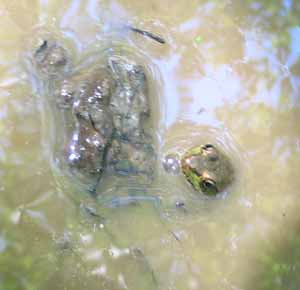 |
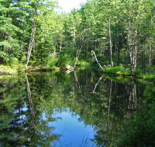
...where you'll find a nice pool of water.
Mt. Watatic is a relatively easy hike with great views.
Recommended for a quick hike in north central Mass. |
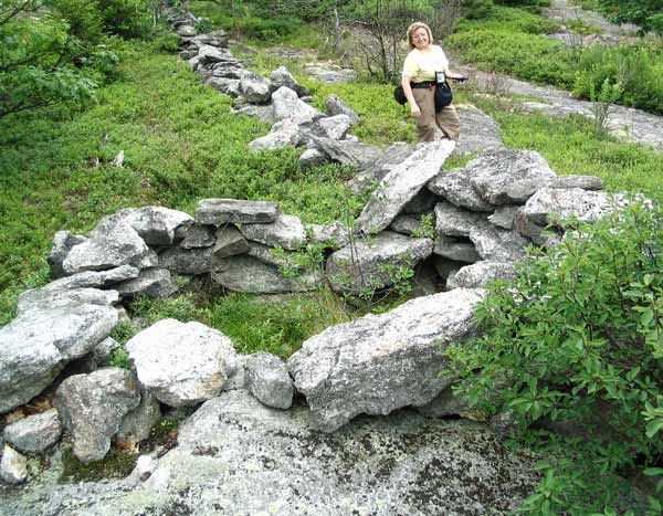
Barrett Mt. - June 29, 2008
Activity and trip report by Ken L.
|
The first small hump along the trail netted us a geocache, which Deb found
without benefit of a GPS or any geocaching experience. Yep, she looked
in the right place while Kris and I were scouting around in all the wrong
places! |
Barrett Mountain is one of a string of hills along the
section of the Wapack Trail running through the New Ipswich, New
Hampshire area. Deb, Kris, and I started out for Barrett Mt., but we
may have gone as far as New Ipswich Mt.
No matter, as these hills are both between 1850'-1900', give or take,
and our out-and-back route was something of 6-8 miles total.
The weather was very warm and very humid, so breaks were frequent
(and often necessary).
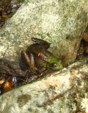
Critters...
 |
If it looks humid, it certainly was that day!
Deb and Your Webmaster along the trail
A ring of rocks near a stone wall...and not too far
from there Kris found
a geocache in a HUGE ammo container

The views from the various hills are limited, but now
and again
you get a peek at what's going on far away
We stopped for a while for lunch, trying to find any shade
we could while trying to avoid the tons of ants that were trying to make off
with our lunches. We turned back for the car and struggled a little
bit along the trail with the humidity (Your Webmaster does not do well when
it's too humid out), but we made it off the trail before some really amazing
thunderstorms blew in.
I like that section of the Wapack Trail heading south from
Rte. 124 in New Ipswich, NH. It was interesting to see parts of the
Windblown X-C Ski Area that I'd been to earlier in the year (hikers have
permission to cut through there in the summer, not so in ski season).
I'd like to do a point-to-point from New Ipswich to Mt. Watatic someday! |
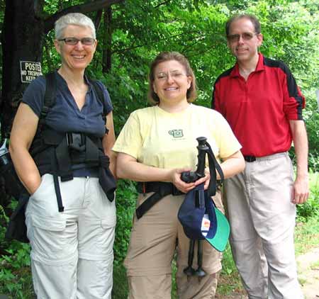
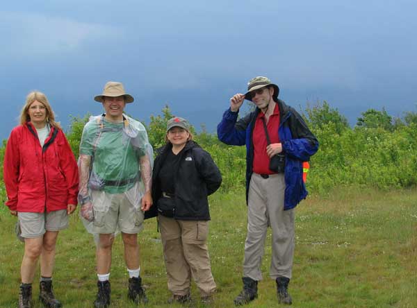
Crotched Mt. Hike and Geocache - June 22, 2008
Activity and trip report by Ken L.
Photos by Ken L. and Randy C.
Discontinued...?
|
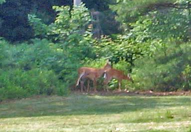 |
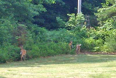
Some deer friends met us near the trailhead for
Crotched Mt. in the Monadnock Region of New Hampshire. Crotched Mt. is
2066' with a defunct ski area atop (the ski area has reopened on a
different part of the mountain) and--until recently--a nice trail system
on the southeastern side.
The weather for our hike started out good, but we knew there'd be
storms coming in, and, sure enough, we got one!
And...for those who enjoy technology, we solved a little bit of a
mystery using tracks from our GPS receivers and Google Earth!
Pretty nifty. |
There's a very nice meadow at the start of the trail (the
trail starts to the right of the dirt road...if you take the road, you miss
this, so take the trail, not the road).
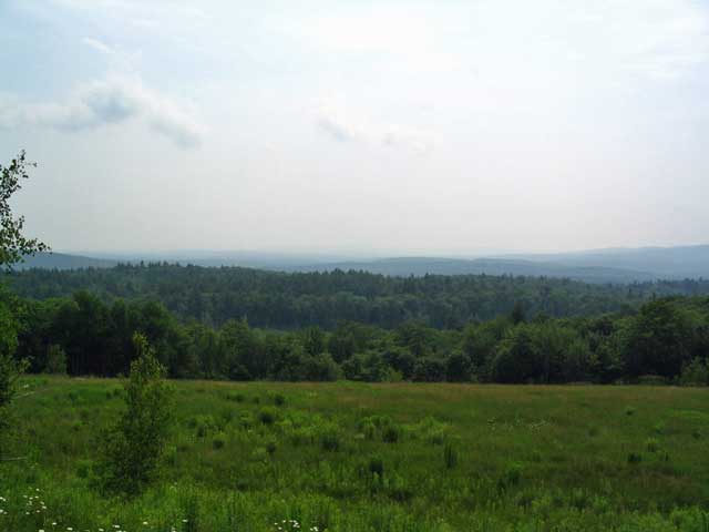
The Meadow
Randy, Pam, Melanie, and John went on ahead, and Kris and
Your Webmaster caught up with them at the trail junction.
|
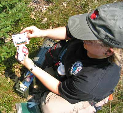
Melanie "Meldy Spud" helps Randy load up the
geocache's coordinates into his GPSr |
From the junction you can head straight to the view of
the Mt. Monadnock area near the summit of Crotched Mt., or you can turn
right and head along the loop below the ridge. The geocache we were
going for that day -
Place It And They Will Come - was along the loop below the ridge,
and, considering the weather, we decided to get there first.
Kris, Melanie, and Pam were looking for the
cache...which, ummm...Your Webmaster had already spotted. :-)
And there it is! |
Kris has some cool patches to leave in the geocaches she
finds. We traded trinkets and put entries into the logbook and
continued along the loop, hoping to get a second cache in the area (which
would mean taking a different trail...if we could find it).
Kris picked up a hitchhiker
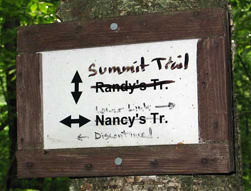
It wasn't long until we reached junction with the Summit
Trail, and beyond that, along Nancy's Trail where we were heading, the Town
of Francestown, NH has discontinued the trail! We were able to do this
trail last year, but this year it is closed off. If you have
information about this trail system and what is happening with it, please
give a holler to Your Webmaster!
| So we turned left and up the Summit Trail, which leads
to the ridge. The thinking was we'd head out the ridge to see what
the trail looks like on the other side, but as we neared the top of the
Summit Trail, the weather started to turn. The wind came up, the
leaves were turning over, and we could hear the distant rumblings of
thunder. After a few rest stops, we made it to the trail junction with
the ridge trail, where Melanie and John were waiting. Given the
weather, we made the decision to head back to the summit area and back
out. We turned left, and it wasn't long after that when the sky
opened up with a downpour!
Melanie and John decided to head out rather quickly, taking off down
the trail and leaving the rest of us to get our rain gear on. It
was then Your Webmaster looked to the right and spotted:
...*the* place for lunch! |
Hey, guys...I think I see some nasty clouds
coming in... |
|
 |
There was plenty of room for Pam, Randy, Kris, and me to
duck out of the rain and grab a bit of lunch until the storm blew over,
which it did in about 10 or 15 minutes. |
The storm done, we made our way back out toward the summit
of Crotched Mt., although we didn't visit it. There's a very nice view
short of the summit, but it was rather cloudy and stormy in the Monadnock
area, and we knew we had better head out.
 <-- Kris and I snagged a few half blue blueberries...it's almost time!
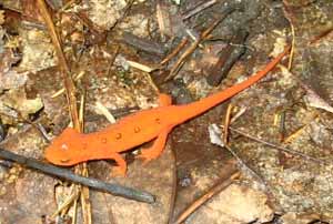
Along the way we spotted these guys...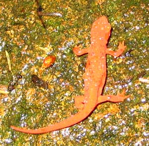 ...which
look like tremendously huge, terrifying monsters in the pictures...until you see how big
they really are: ...which
look like tremendously huge, terrifying monsters in the pictures...until you see how big
they really are:
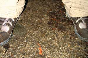
:-) Red efts, as they are called, love to be out on
the trail in the cooler, wetter weather, so keep an eye out for them on the
trail so you don't step on the little buggers. Oh, don't pick them up
or touch them, as their skin does contain poison glands, although they're
really quite harmless.
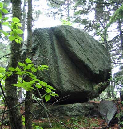 |
<-- Heading down we ran into the glacial erratics along
the trail. There are about four or so of these precariously
perched rocks in one form or another.
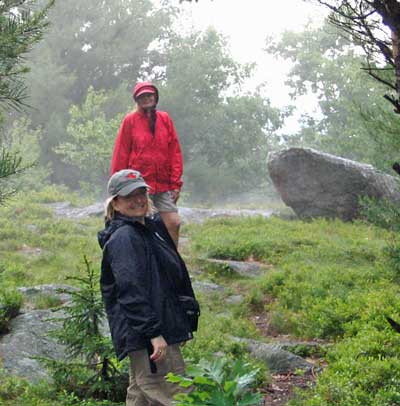
Misty weather after the rain |
Not far from the trailhead is an open area where you can see
around the valley.
More storms were heading in...
...including one right behind us!
Well, I guess it was time to head back out to the cars.
It was then that we discovered that Melanie and John's
car was still there at the trailhead. Given the time they left us
and our lunch break, they should have been back at the car and long gone by
then. We were wondering what became of them!
John and Melanie are experienced hikers and had a GPS
receiver with a waypoint to the trailhead, so we weren't overly concerned.
We figured that they went on a different trail (possibly the Bennington
Trail) to try to grab another geocache or two in the area.
So instead of standing in the rain waiting, we decided to
head out, and, sure enough, we spotted John and Melanie along the road.
They were just fine and were going to hoof it back to the car.
But what became of them? How did they wind up far from
the car? Melanie said they came off of the summit and went straight
down, but from their trail description (including mention of a four-way
intersection which the trail we were on didn't have), they couldn't have
taken the same trail we did. So we had to solve the mystery!
In a GONewEngland first, we used highly advanced GPS
technology and mapping software costing millions of dollars to unravel this
mystery. We downloaded data gathered from our GPS receivers to view
the actual trails taken on a map, and Your Webmaster merged these trails
using Google Earth. Melanie and John went along the blue trail, while
the rest of us went along the orange trail:
In the center of the picture about 1/4 of the way down, you
can see a purple dot. That's the official summit. You can see
the blue and orange lines below that dot, and the orange line heads down,
but the blue line heads past the summit straight for a short distance then
heads down. Melanie and John (blue) turned right below the summit and
followed a stone wall, then they turned left to head down. Eventually
they hooked up with the Bennington Trail and came out on a road leading to
Route 31. They followed Sawmill Road, grabbed a geocache, then went
back up the road to the car. Meanwhile the orange line went back the
direct route to the cars from the summit.
For those who have Google Earth (or would like to download
the free Google Earth software by clicking
here), right click
here and save locally for a Google Earth kml
file where you can see our trails and view the area in 3D!
Another nice hike to Crotched Mt., and this time we got a
geocache. The only disappointment with our day was the discovery that
Nancy's Trail has been discontinued. We'll have to find out what's
going on with that trail to see if we can get our nice loop back! |
|