| Tammy The Wonder Dog
Tom and Annette sent a note along to GONewEngland
Central that our friend Tammy the Wonder Dog is no longer with us.
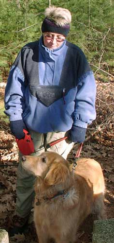 |
Tammy came out hiking with us (along with Tom and
Annette) several times over the past few years. Tammy would run
back and forth along the line of hikers to make sure everyone gave
her her a pat on the head...and then she'd run back and forth
again.
One time Tammy went out running across a frozen lake to some
guys riding along on ATVs! Tammy didn't want to come back,
but the guys brought her back to the edge of the lake, and we were
able to get her hooked back up to the leash. Tammy
just wanted to say hello to everyone...everywhere...every time! |
 |
| Tammy has known only one home in her 14 years 2 months 7 days,
and her ashes will be keeping company with the big weeping beech
she used to explore around in the backyard. She liked it
there, and that's where she'll be forever now. |
 |
We'll miss you out there on the trail, Tammy! |
|
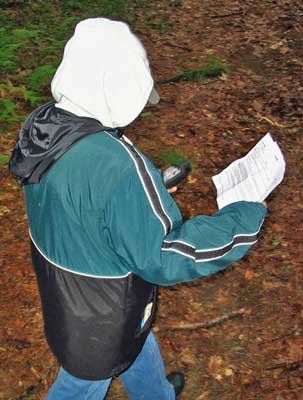
Indian Ridge Walk and Geocache - June 15, 2008
Activity, photos, and trip report by Ken L.
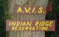 |
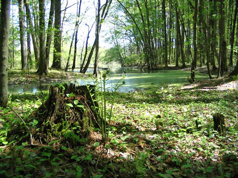
Indian Ridge is a small spot tucked away in Andover, MA. It's
a wonderful place, so don't go telling everyone about it! There
are some trails, a pond, a small meadow, and some geocaches.
My friend Kris and I went out there for the afternoon.
It was her first time geocaching, and Indian Ridge has three geocaches
that are fairly easy to find but give you a good idea what geocaching is
all about. |
 |
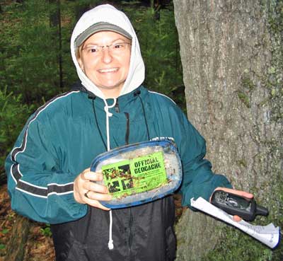
Kris marched off with great intent of finding these
pesky geocaches, and she came up with the first one, the
"Indian Ridge" cache. We wandered around Indian Ridge and Baker's
Meadow to snag the other two in the area as well.
"Peaceful Easy Feeling [north]"
"Peaceful Easy Feeling [south]"
Great job, Kris!
Yep, I see a GPS receiver in the future for Kris. Maybe her
husband DJ will put a crowbar in his wallet...naaaahhhh... :-) |
 |
The weather for our walk was cloudy and cool, and as a result every
mosquito within five miles was dropping by. Eh, that wasn't going to
stop us from picking up the caches and seeing some of the wonderful sites
the Indian Ridge area has to offer...
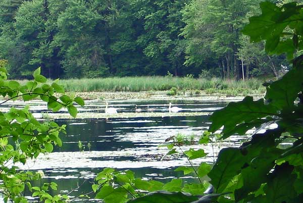
Swans and two signets
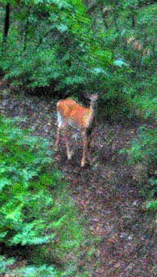 |
<-- We also met this
little fellow along the trail. He was just standing there, and I
did my best to get a picture of him, but that was the best I could do
given how dark it was. After a few minutes he wandered off the
trail and into the woods.
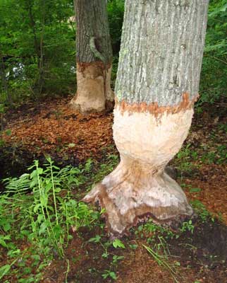
Someone's been busy! |
Won't be long...
We also saw a big crane (may have been a Blue Heron), a
Northern Oriole, these neat birds that liked to zoom around and dive at the
pond and snag bugs, and a slug.
Nice spot...Sssssshhhhhh---don't tell anybody!!!! |
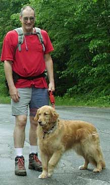
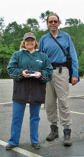
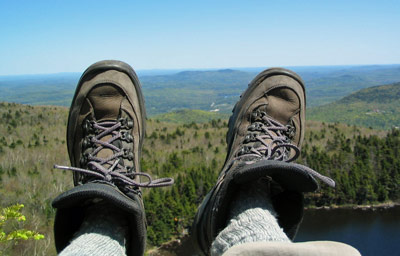
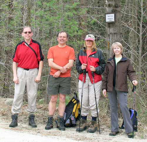
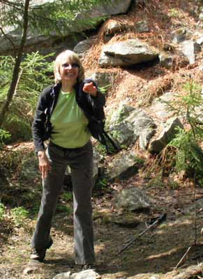
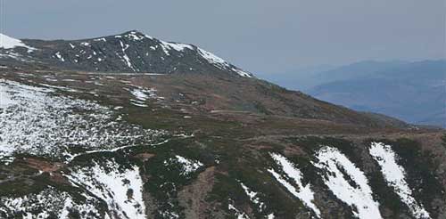
Mt. Sunapee / Lake Solitude Hike - Newbury, NH - May 25, 2008
Activity, photos, and trip report by Ken L.
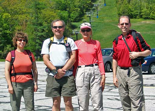
Lorna, Randy, Pam, Your Webmaster
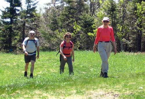
Lorna, Randy, Pam, and Your Webmaster met up in the Mt.
Sunapee Ski Area parking lot and got ready for our hike up the mountain.
Well, OK, it's not all that high and not all that far, but it's a fine hike
to some nice views.
|
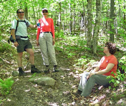 |
The weather was sunny...not a cloud all day! Fortunately the
temperature was not too hot, although water breaks were welcome. The
black flies, though, did their best to thwart our hike. Unlike
last week where the skeeters were out in force, this week it was those
pesky little black varmints. However we've seen worse, and simply
moving along the trail and swatting the ornery buggers was enough to
keep us from going nuts.
(Now a few years ago at Mt. Potash...well,
that was an entirely different story...) |
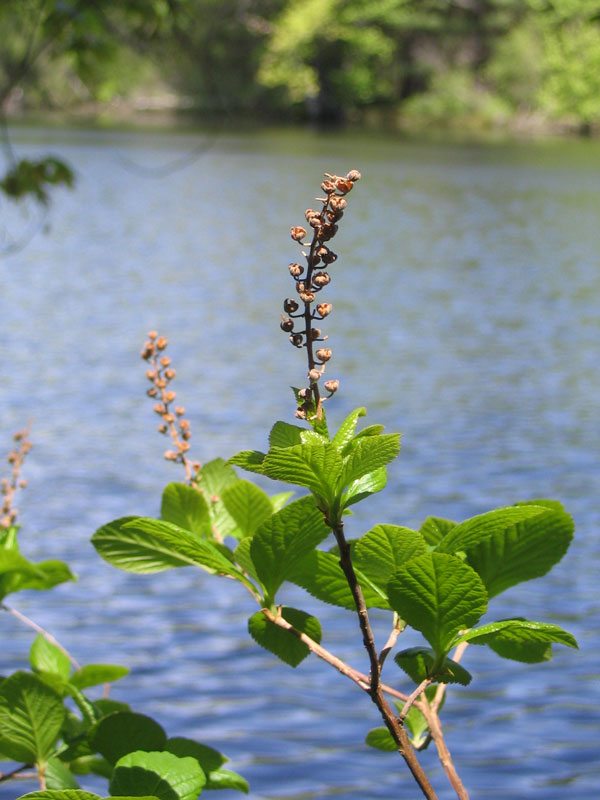
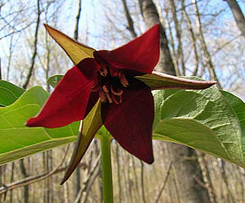
Along the way we checked out the flora, now in bloom or getting ready to
bloom...
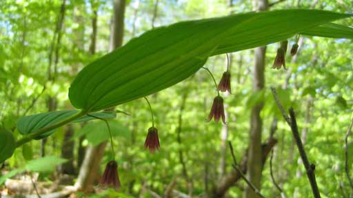
Solomon's Seal
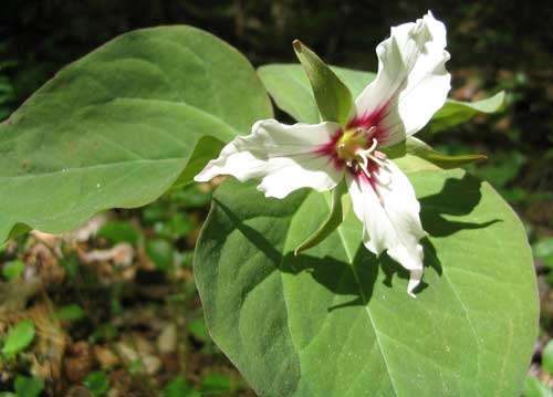 <-- Painted Trillium
Purple Trillium -->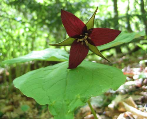
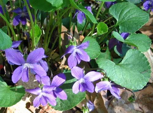
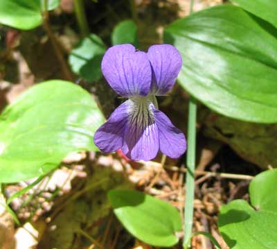 <-- Violet
Hobblebush Viburnum -->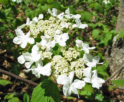
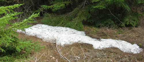
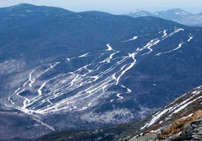
Two miles from the ski area parking lot we're at the summit.
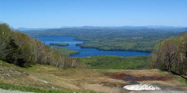
The view from the top of Mt. Sunapee it incredible.
Waaaayyyyy in the distance well beyond Lake Sunapee you can see the White
Mountains. And, yes, that is snow in the foreground...
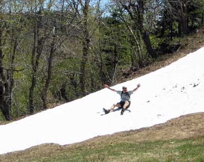 |
...and Randy found a bunch of it! When we were getting ready for
the hike, we noticed some people carrying skis to one of the slopes.
Sure enough, if you looked through the trees, the slope they were
heading for was still covered in the white stuff. |
About a mile away from the summit is Lake Solitude.
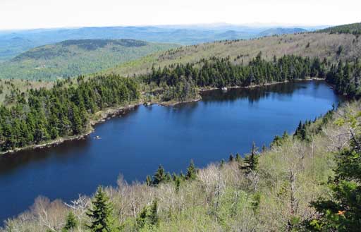
| We paused on the cliff overlooking the lake for a while and had
lunch. Far below us other hikers were milling about the woods with
their dogs, and two ducks swam around on the lake. |
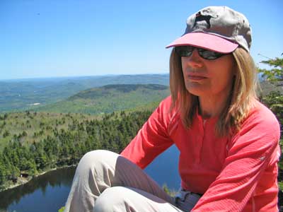 |
Mt. Sunapee to Lake Solitude is a relatively mild hike to
some nice views with just a few quick rock scrambles here and there.
There aren't any major uphill sections, as most of the trail comprises
switchbacks.
And the cliff overlooking Lake Solitude is a great place for
lunch. :-) |
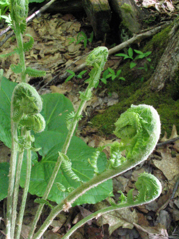
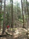
Ferns Unfurling Photography Hike - Groton, MA - May 18, 2008
Activity and photos by Kiirja P.
Photos and trip report by Ken L.
|
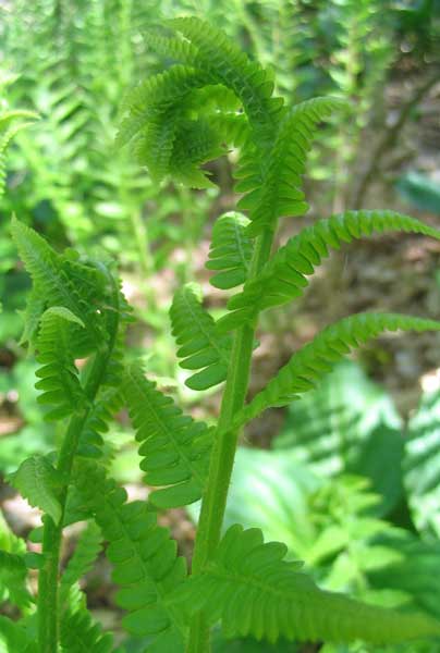 |
Kiirja suggested a photography hike with the theme of
"Ferns Unfurling". Normally she heads out a bit earlier in the
year, but we were able to catch some ferns unfurling this week anyway.
We started at the Shepley Hill Conservation Land parking lot on Sand
Hill Road in Groton, MA. From there we took the Nashua River Rail
Trail a short distance, stopping for a few photos along the way, then we
made our way down a trail to the Nashua River.
The day was in the 60s, sunny, with a light breeze now and then to
blow the skeeters away. While we were down near the river, Your
Webmaster was wishing he had a kayak! It was a perfect kayaking
day. But it was also a nice day for a walk in the woods and to
grab a few pictures.
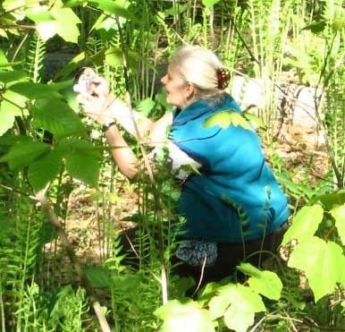
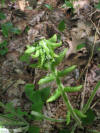
Kiirja stalks the mighty unfurling fern! |
Kiirja's Photos (click for
larger images)
The three photos below were sent in by Kiirja. They were
compressed and sized. |
 |
 |
 |
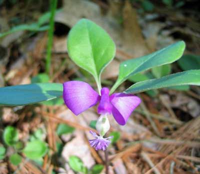
Fringed Polygala
 Your Webmaster strikes a pose. Dude---you are way too serious!
Lighten up!
Your Webmaster strikes a pose. Dude---you are way too serious!
Lighten up!
Your Webmaster didn't know about this conservation land, but
now it's on the list of "things nearby to visit". And he learned a
thing or two about his camera.
This was a nice way to start off the week!
Your Webmaster will update this report if additional
photos are sent in by Kiirja. |
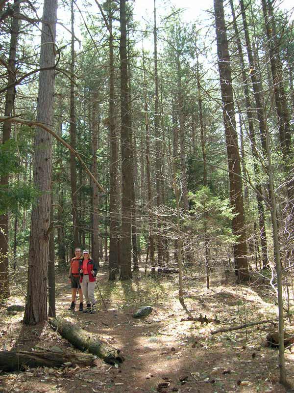
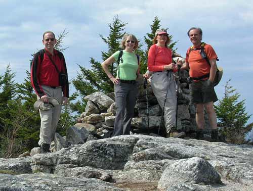
Ted's Trail - North Pack - April 26, 2008
Activity, photos, and report by Ken L.
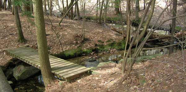
One of Your Webmaster's favorite hikes is Ted's Trail.
The trailhead is a bit tough to find on Mountain Road in Greenfield, NH.
Most people take the Wapack Trail, which is shorter and more direct, but
Ted's trail goes through some nice scenery. We went up Ted's Trail and
down Carolyn's Trail. According to Randy's GPS, it's 6.0 miles
exactly.
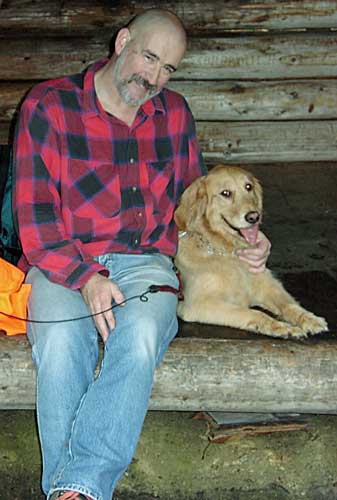
Your Webmaster, Randy, Pam (no Shadow :-( ), Nancy
Familiar friends Randy and Pam joined me for the hike
(although the hike is a bit much for the 12-year-old Shadow), and my
co-worker Nancy and I carpooled from northern Massachusetts. The
weather was sunny with a bit of haze for a lot of the day with bouts of
clouds. The temps were cool and comfortable with a little breeze now
and then. Bugs? Ha! We saw a few, but they weren't all
that interested in munching on us.
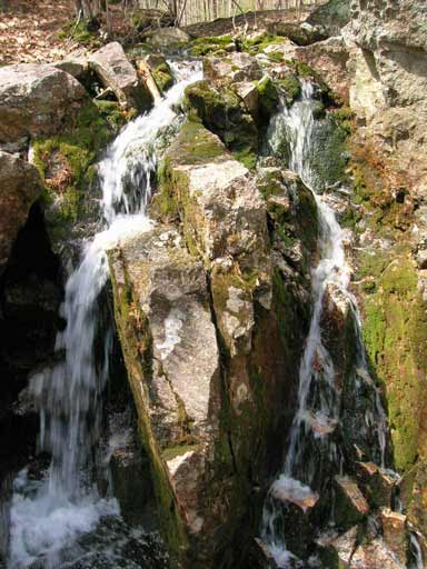
Along the way we saw some neat stuff...
 <-- Trillium
The Waterfall -->
 And, of course, Ted's Trees (click for a larger image)
We even saw some of this:
...that Nancy had to pick up and throw at Your Webmaster!
Oh, laugh now, Nancy. Just remember who's giving you a
ride back to the carpool spot!
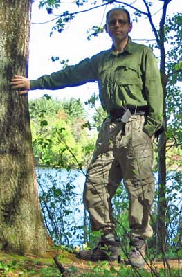
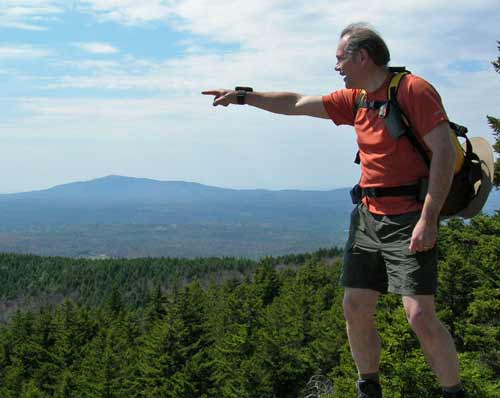
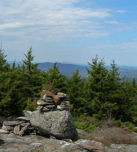
| As we started back up after lunch on the South Cliffs, I asked Randy
to do his impression of a mountain man. This is what I got.
I'd give it a 4.
Although the major landmark is Mt. Monadnock in the background there,
Randy is pointing somewhere near South Pack. At what we don't
know. |
 |
A few minutes after our break at the South Cliffs we made it to the
summit.
Always nice is the view from the start of Carolyn's Trail on
the way down...
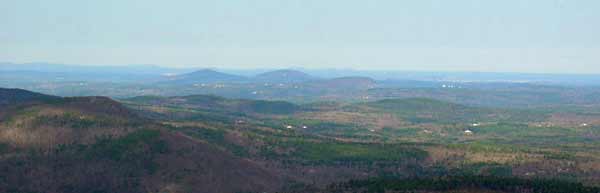
View toward Manchester from Carolyn's Trail
...to which cameras can't do justice. Please make it a
point to hike this trail with us the next time!
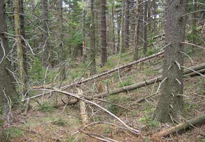 |
Carolyn's Trail leads into the woods along the northeast
side of North Pack, and it was there we noticed a lot of fallen lumber.
Near the trailhead they seem to be cutting down some of
the larger trees. There were some that seemed freshly cut, say
within the past week. However these trees seemed to have succumbed
to a rough winter. There was a tremendous amount of snow in the
area, so that may have caused some of the fallen trees.
|
After the hike we hit a coffee shop in Wilton and wandered
home.
As usual, Ted's Trail did not disappoint! |
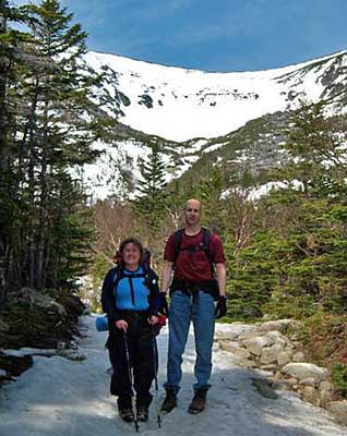
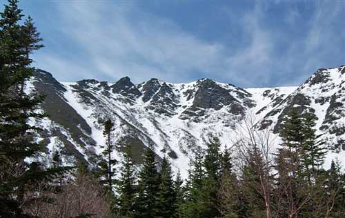
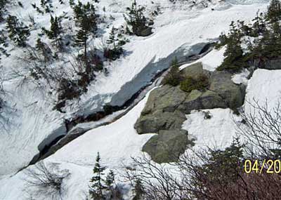
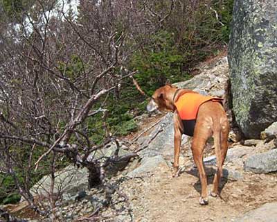
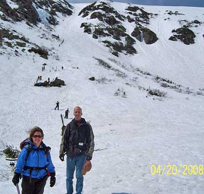
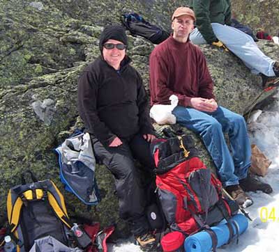
Tuckerman Ravine - April 20, 2008
Activity, photos, and report by Randy C.
|
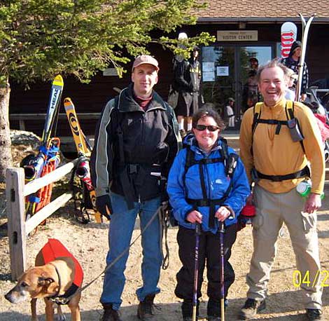
Tim, Kathy, Randy and Chaos (in orange) at the
trail head
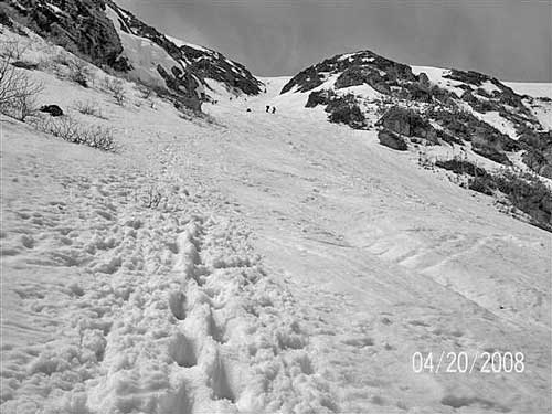
An hour and 45 minutes later, the ravine
broke in to view. All packs became lighter point.
The crowd at Hermit Hut – milling above the
treeline. The bowl is 45 minutes from here. Kathy soaking up some sun,
Tim readies another roll of digital film.
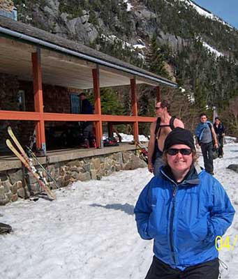
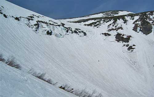
Tuckerman Ravine from the hut
Dodge’s Drop and Hillman’s Highway up on
Boot Spur were skiable today but not on the itinerary.
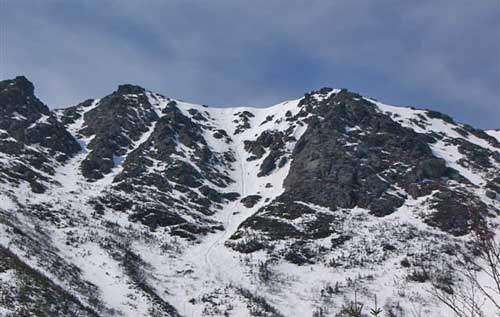
Dodge's Drop
Dodge's Closer Up
After a check of the conditions,
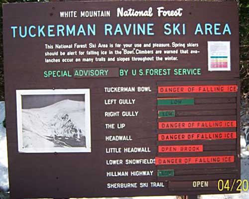
we determined to NOT sit under ice
outcroppings. We headed up to the bowl with a stop to check out the
Cutler River waterfalling over the Little Headwall. The Forest Service
suggested that we not fall in as the river dove under snow and rock from
here and emerges in Conway. Yes, that’s the ski trail down just on the
other side. The waterfall is big, and noisy – even Chaos stopped to
look!
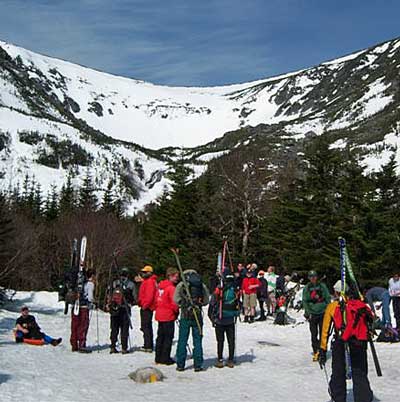
Finally, in the bowl, these serious faces
are speed searching for a comfortable rock. Competition is fierce but
Kathy and Tim elbow front row seating for big air ski jumping.
Put on the sun screen and sunglasses – its
60 degrees in the bowl, very little wind, cloudless, and mirrorlike snow
on three sides. There were about 400 people in the bowl, cheering the
best falls and best jumps.
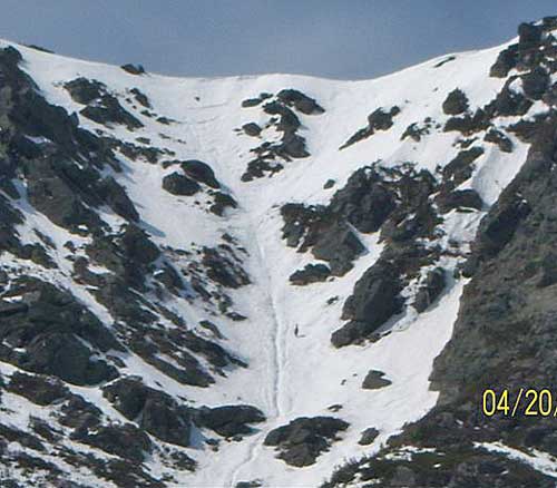
Randy headed up Left Gully for a couple
runs. This is what 70 stories of stairmaster in ski boots looks like.
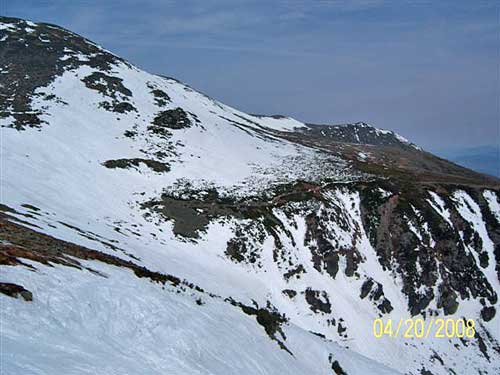
A view of the bowl – about 1/3 the way up.
The infamous headwall is on the right. Two kids skied the rock cliffs in
the middle to full hooting applause. The slope on the left is called the
“Chute”. It’s been described by a famous headwaller as “like skiing over
the edge of a cue ball”. It starts as a blue square but keeps getting
steeper until you can’t see over the edge. When you get to 45 or 50
degrees the rocks come into view like racing gates (extreme upper left).
A view from the top of Left Gully, looking
down the slope.
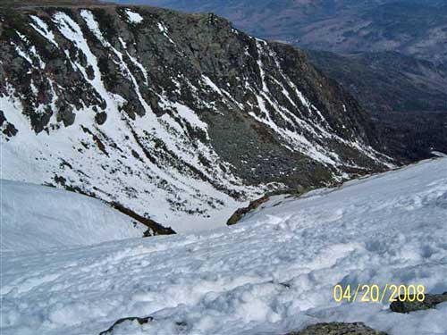
Looking North, over the ravine. That’s the
Mount Washington cone on the far left.
And looking east over the valley
at Wildcat ski area – still open.
Wildcat across the valley
That’s where this reporter’s camera fainted.
Two runs later we rounded up Chaos – who had
made friends with all 400 visitors. Kathy shared some Peppermint Patties
– which never tasted better – cold on hot day over the snow!
Tim and Kathy hiked the trails back to the
base and Randy shortcutted down the John Sherbourne. All arrived SAFELY
at the base well before sundown. |
|
|