Mt. Sunapee Hike - October 8, 2006
Activity and Photos by Dawn S.
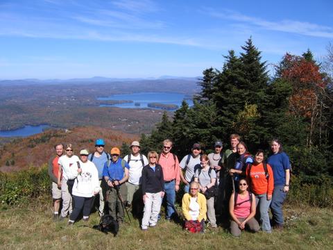
A considerable group made it over to Mt. Sunapee for Dawn's
hike. The group comprised GONewEnglanders as well as those from the
Hiking Meetup.
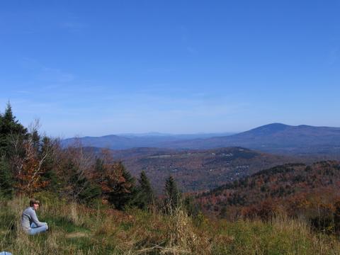
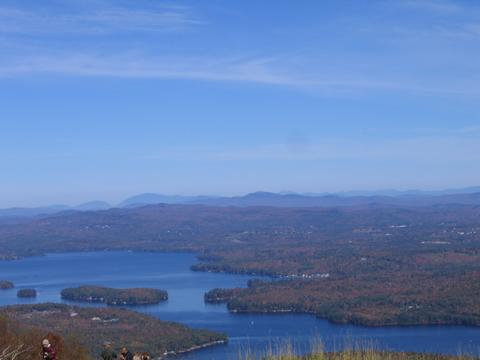
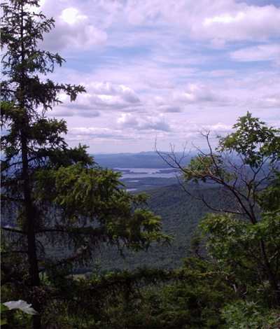
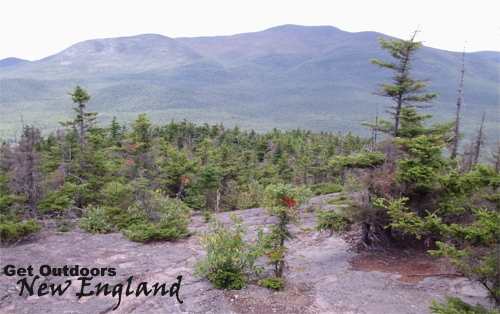
Views from the top...
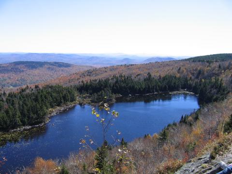
Lake Solitude (great spot for lunch)
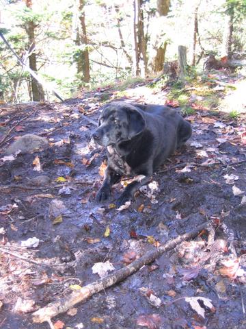 |
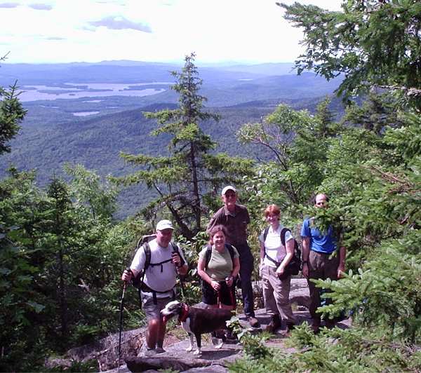
Our buddy Shadow was along for the hike, too! But he's getting
a bit on in years, so he was a bit slow and had to be helped a bit, but
he was glad to be out with everyone (as always). |
|
Geocaching at Indian Ridge - September 17, 2006
Activity and Trip Report by Ken L.Geocaching: A
game in which you attempt to discover hidden items by means of a GPS
receiver, clues, and your wits.
Indian Ridge: A wonderful conservation area in Andover,
Massachusetts.
There are three geocaches at Indian Ridge and the two other conservation
areas that border Indian Ridge. It makes for a great walk and a fun
find!
|
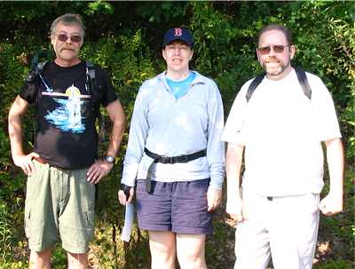 |
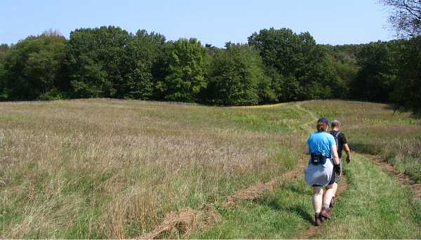
Dave, Dawn, and Your Webmaster arrived at about 10am to the
maintenance lot on Red Spring Road in Andover, Massachusetts. The
lot is right next to
Indian Ridge.
At Indian Ridge and its two co-located conservation areas are three
geocaches. You can read about them by clicking on the links here:
|
Your Webmaster had already found the caches, so the intent of the day was
an intro to geocaching. It turns out that Dave and Dawn have done some
geocaching in the past, so we just wound up with a very nice walk in the
woods (and we did find the geocaches).
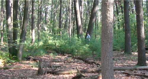
Where are you going, Dawn?
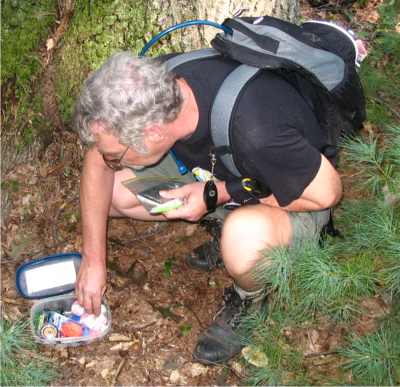 |
The first cache was fairly easy, although Dave's GPS and my GPS
hardly ever wanted to agree. That's not so unusual in that
consumer GPS has only so much accuracy, and the tree cover does affect
how good it is (as you can see we were in the woods). Dawn went right
up to where the cache was hidden but didn't spot it---right away anyway.
Eventually she realized where it was.
Dave signed the logbook and left some foreign coins he had handy. |
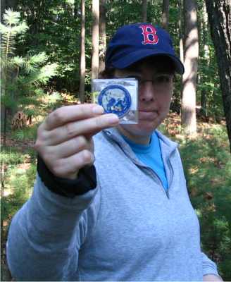
A "geocoin" is a big coin that has a mission.
This one's mission is to visit many caches
around the world. If you're out geocaching and find this one,
grab it and take it along to another cache somewhere...anywhere!
On our way to the second and third caches we got to check out Indian
Ridge, Baker's Meadow Reservation, and West Parish Meadow Reservation.
Nope, none of us had any idea all this was here. It's a very nice area
not far from the busy Rtes. 133 and 28 in Andover.
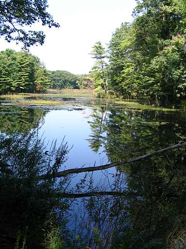
The ridge (of Indian Ridge) is an esker. This is a long hill of
debris left behind by the glaciers thousands of years ago. In these
conservation areas you'll also find a nice pond and some meadows.
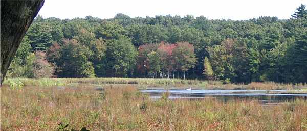
Yes, that's a swan. A BIG swan. There were
two of them.
We crossed the meadow to get to the final cache...
And up onto Indian Ridge to get back to the cars.
There was a bench along the way.
We got the three caches for the day and were out of the
woods by early afternoon. TFTC! |
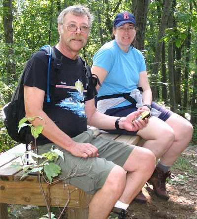
Mt. Israel - August 13, 2006
Activity and Trip Report by Kathy K.
Photos by Tom and Jen
|
It was a gorgeous Sunday morning as I made my way to the Burger King
parking lot in Ashland - our designated hike meeting place. Tom, Dave,
Jen, Don and his friendly canine Lil, and Richard were all there right
on time and ready to roll. We headed out to the Mead Camp area and found
the Wentworth trail with ease. There was much rejoicing as I'd heard
from others that it can be tough to find that trailhead.
|
 |
We headed up the trail and began the climb. With 1700' of
elevation gain over 2.1 miles, we definitely had to work as there
were some steep sections, but we were rewarded part way up by an
outlook with a beautiful view of the lakes - a pleasant reminder of
why I like hiking in the Lakes Region so much. We continued onward
and upward and eventually reached a summit-like ledgy area. The
trail seemed to head down again, so we figured that this must be the
summit. We settled in for lunch and I passed around the bag of mint
Oreos I'd brought as summit cookies. |
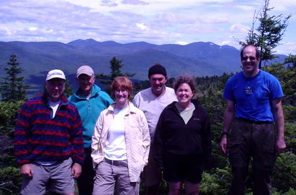
In the meantime, a nearby "peak" that seemed about the same elevation
was bothering us. Could that be the summit? We checked the map, and the
only nearby summit should have been much lower. As we were pondering the
mystery and considering whether to check it out, a pair of hikers came
by and informed us that yes, the peak in question was the summit. We
packed up and headed over to the true summit (complete with summit
cairn), where we were rewarded with beautiful views of the high peaks of
the Waterville Valley.
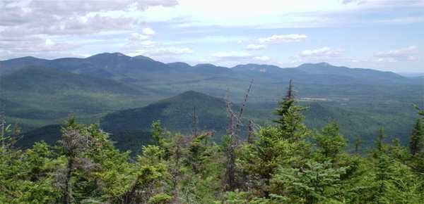
Heeding the advice of our webmaster (Thank you, Ken!!!), we checked
out the ledgy area just past the summit, and the views were even better.
We hung out for awhile and headed back down the trail. Along the way
down, we met a friendly family, some of whom were from Manhattan. We had
a good time chatting with them, especially the kids, who it turned out
were Red Sox fans. They must be very brave to be Red Sox fans in NYC!!!
We headed back down to the cars and then drove back to the Burger
King parking lot, where we hung out and chatted for awhile - a nice end
to a great day of hiking on a glorious summer Sunday. Thanks to Tom,
Dave, Jen, Don and Lil the dog, and Richard for a great hike!!!
|
|
|