Hike in Lynn Woods - Nov 17, 2001
Activity by Dawn McNeill
Photos by Ken Leonard, Martin Kessler, Dawn S.
| From
trip leader Dawn... We had a
great day of hiking on Saturday with fine weather and an excellent
turnout. This was my first time running an event with GONewEngland,
and it seemed to go very well. I have to admit to being intimidated
by the size of the group – 19 people, including a few first-time
GONewEnglanders and our esteemed Webmaster! We only ended up losing
one person along the way (well we didn’t exactly lose him, he
elected to stay behind at our break spot to take a nap and enjoy the
warm sunshine). So if 10% attrition is allowed, I’d say we squeaked
in just under that percentage. I had suggested that we might gather
for lunch after the hike, but due to other commitments, I was forced
to bail out. I’m not sure if some people decided to head to the
Hilltop or Border Café or another establishment on Route 1. It seems
like everyone enjoyed themselves, and I hope to offer some other
local hikes before the snow flies. |
Thanks for the report, Dawn!
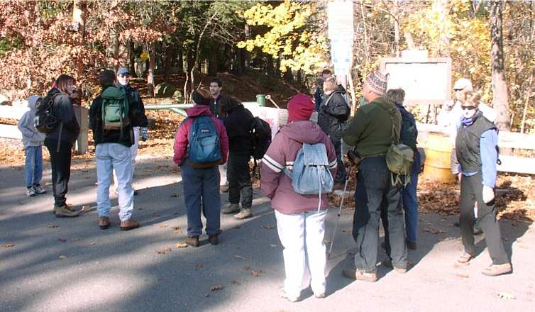
From Your Webmaster (report written earlier)...
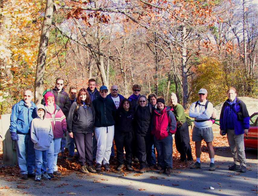
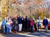
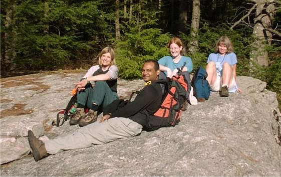
Whew! There were a lot of us ready to head out for a
walk in Lynn Woods (and the picture doesn't even show everyone who came
along). I don't know how many people eventually showed up for the
walk, but Dawn had sixteen on her list. Your Webmaster snuck in, as
did a few more.
The weather could not have been better. It was sunny
and cool, great fall hiking stuff for sure.
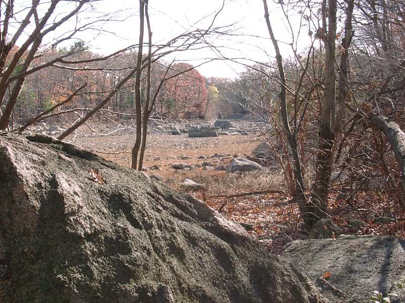
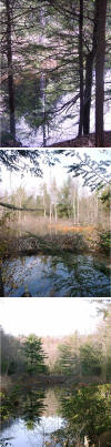
Lynn Woods is a good sized parcel of land along the
Lynn-Saugus, MA border, off Walnut St. off Rte 1. There are two
towers to check out, a stone tower and the remains of a fire tower.
There are also a few ponds and a picnic area or two. And, of course,
miles of trails and old fire roads.
|
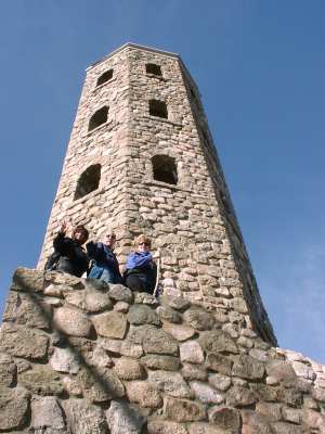
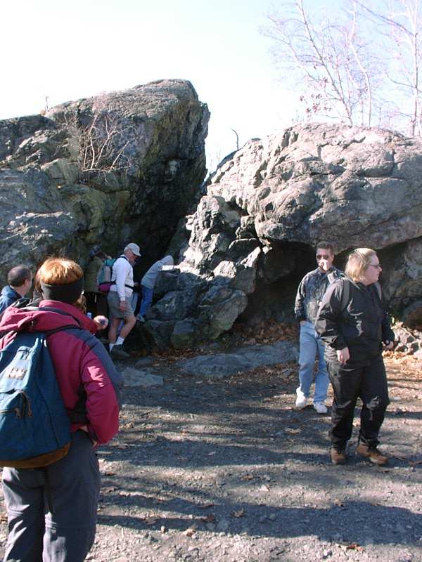
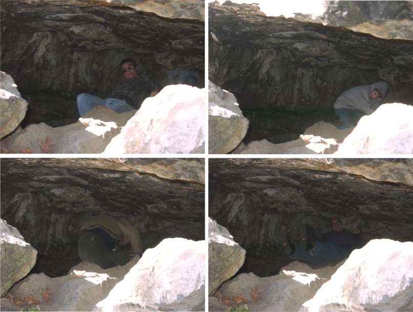
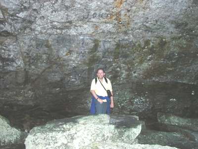
Stone Tower |
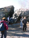
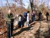
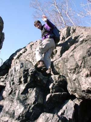
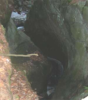
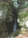
Dungeon Rock. Coming through the Lemon Squeezer are Jeff,
Daniel, The Admiral, and Michael.
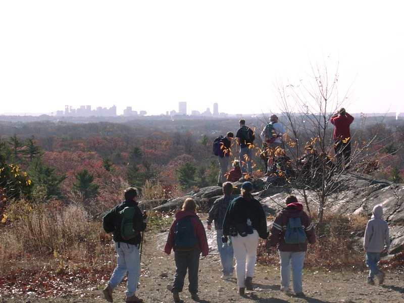
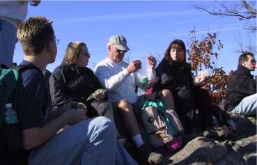
Pause in the woods
Snack time, with a view of Boston |
|
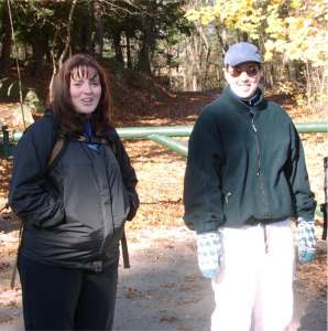
Trip leader Dawn...and...uhh...Dawn.
(We had 2 Jills and at least 3 Michaels along with us, too.) |
Hi Martin! |
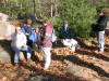
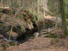
Our walk took us to Dungeon Rock and the Lemon Squeezer,
which a few of us dared to try (Jeff's son Daniel did it at least twice,
maybe more). We then wandered past a few ponds (or, actually, a few
ponds which have dried up and become fields), and on to the stone tower.
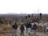
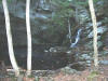
Eventually we made it to the remains of the fire tower, and from that area
there's a great view of Boston and a good place for a snack.
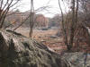
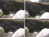
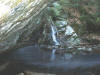
The ponds, or what remains of them. It looks
like they're allowing them to drain.
|

Your Webmaster |
After snacking and sticking around for a while we eventually got the motivation to move on, leaving The
Admiral behind lounging in the sun. A mile or two later, through
some nice woods, we were back to the cars.
Topping off the day, a bunch of us made it over to the
Border Café on Rte 1 for some good Mexican food.
As always, it was good seeing all the familiar faces, plus
a whole bunch of new ones! See you again soon!
|
Weird thing of the day: The group ran into a dog having a
good time romping in the woods. Gee, that dog looked familiar, just
like Elvis, a dog we met at the Bartlett Inn the previous weekend.
Wouldn't that be funny if..."Heeeere Elvis!" said the person walking the
dog. No way!! Yep, it was Elvis and Suzi, whom we had
seen at the Bartlett Inn!
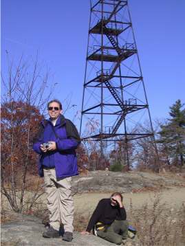
Your Webmaster and The Admiral at the old fire tower
|
Bartlett Inn Weekend / Crawford Mt. / Mt. Willard - Nov
9-11, 2001
by Ken Leonard
|
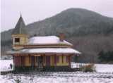
The Bartlett
Inn is a country inn in Bartlett, NH, just down the street from
Attitash, somewhere between the Conways and Mt. Washington.
Your Webmaster likes to head there after the foliage and before
skiing---no bugs, no tourists, great late fall and early winter
hiking. |
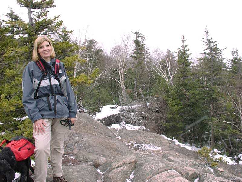
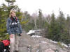
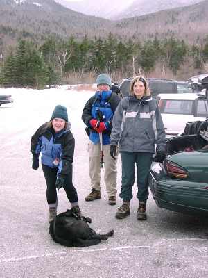
Joining me this weekend were Jan G., Janet D., Ruth
C., Pam F., and Our Welcoming Committee/Motivator Kathy K.
Yvette L. came by, too (way in back in the first
picture), as well as Ruth's daughter Lisa and Lisa's boyfriend
Carlos. |
Over the weekend we got in some hot tubbin' at the Inn, and they
provided us with some excellent breakfasts. Saturday's special was
apple cider waffles and Sunday's was an omelet with cheese and veggies.
The good food was necessary to fuel us up for the hiking we did on both
days.
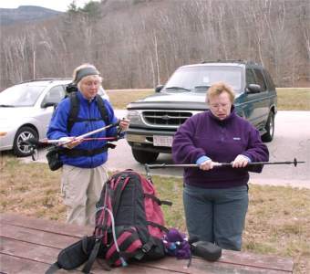
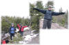
| Saturday we decided to take the Davis Path up Crawford
Mt. It was a little nippy, but not too bad, and it started
cloudy and only got worse, unfortunately. At the parking lot Jan and
Janet got their gear in order.
We were then off to the trailhead and on up. |
 |
|
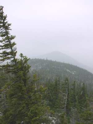 |
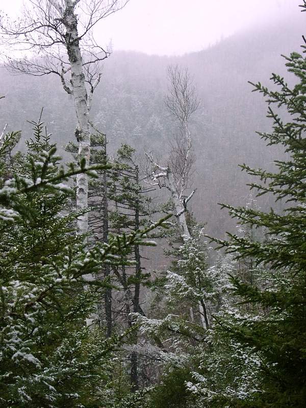
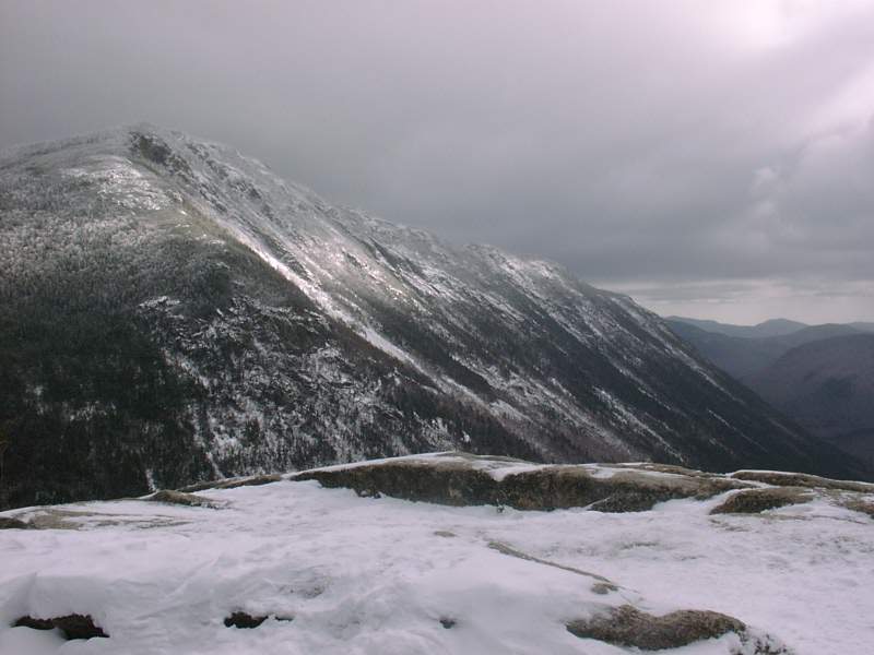
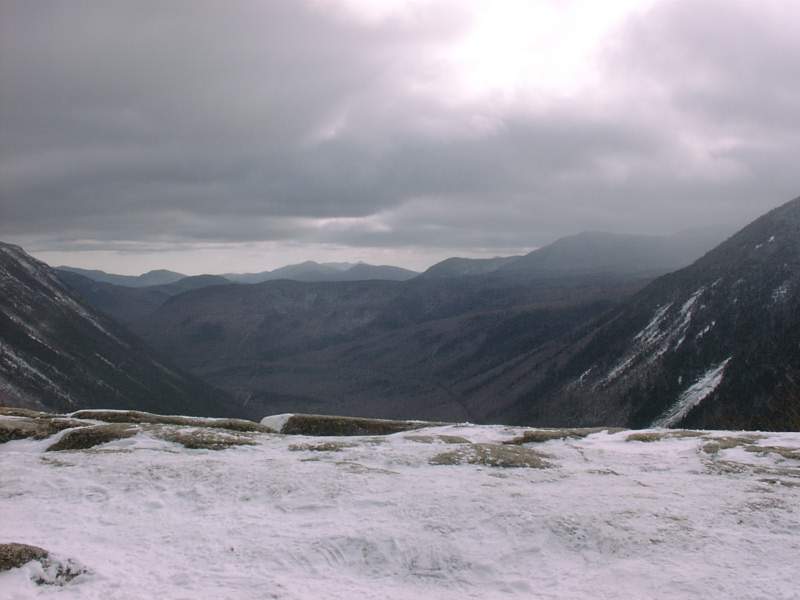
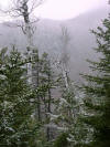
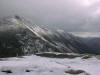
The Davis Path is a steady climb, and about 2/3 of the
way up it started to snow. The summits were increasingly in the
clouds, so only the quickest got any view at all. The rest of us
saw mostly clouds and some snow coming in. But it was still good
to be up on a mountain!
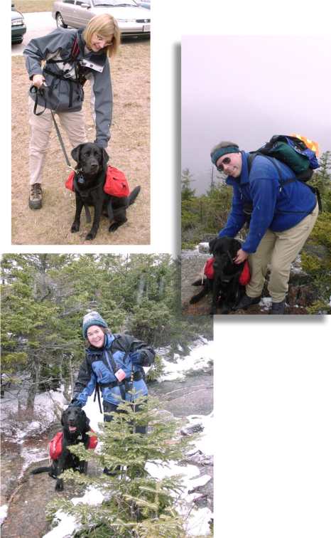
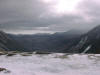
By the time Pam, Shadow, and I reached the ledges near
the summit, the snow had made things a bit slippery. We went on
just a little further at Ruth's urging (she was coming back from the
summit), so we went up to another set of ledges where we met KK, Lisa,
and Carlos coming down.
 |
Because of the slippery conditions, Pam and I decided not
to forge on any further. We stopped for a few minutes to let Shadow
get some food and water, and we turned back. About halfway down the
snow flurries turned to drizzle as the snow disappeared underfoot.
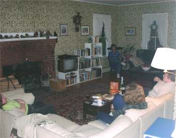
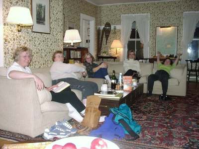
In a little while we were back to the car and back to the Inn, where the
speedier GONewEnglanders had already enjoyed some time in the hot tub and
were sitting in the big living room by the wood stove, just hanging out.
It's great work if you can get it. :-)
|
Pam's dog Shadow enjoys hiking and being with
everyone. |
Somehow we managed to get some motivation and head to the Red Parka Pub
for dins. Good stuff!
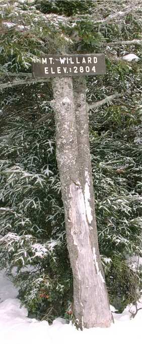 |
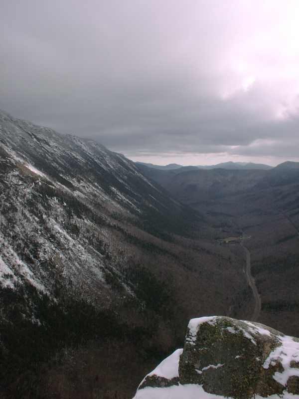
Sunday's hike was--yep, you guessed it!--Mt. Willard. This is
an excellent winter hike especially for those new to winter hiking, as
it's relatively short, the trail is out of the wind a lot of the way,
and the grade is moderate and steady. In fact, this was
GONewEngland's second activity.
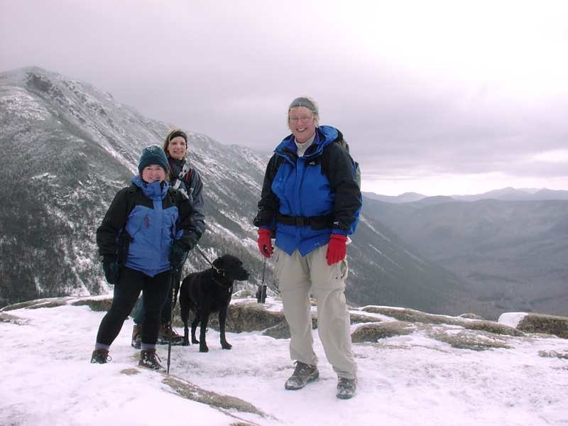
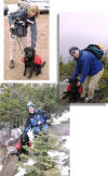
KK, Shadow, Jan, Pam, and I stepped out into the
blustery cold (low 20s, some wind), got our gear on, and hit the
trail. In the woods there was no wind, and it was a nice hike,
mostly on a few inches of snow (great for Your Webmaster's feet). |


Any pictures of that view from Mt. Willard just don't do it justice.
You really have to go there and experience it. It's not that hard,
it's easy to find (behind Crawford's station on Rte 302, right at the AMC
Hostel across from Saco Lake), and the rewards are certainly worth it!
We made it to the top where we had some lunch, then it was back down to
the cars. We went over to Woodstock for something to eat, at which
point we made our ways home. But not Kathy, as she decided to spend
one more night at the Bartlett Inn. I can't say as I blame her.

And I'm sure KK took after Zoe, a fluffy feline visitor to
the Inn sound asleep on the couch. Zoe knows: It's great work
if you can get it. :-)
|
Purgatory Falls - Nov 3, 2001
Activity by Pam Fortier
Pictures/Trip Report by Ken Leonard
Fall hiking. It just doesn't get any better. Cool days,
nice colors, no bugs.
Gee, where have I heard that before?
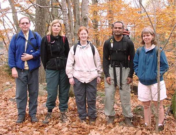
Five of us (Your Webmaster, Pam, Jen, Chandra, and Linda) found our way to
the trailhead for Purgatory Falls in Lyndeborough, NH. Although
listed in the book as a 2 mile trail, it's really more than that.
The 2 miles were probably just to the Upper Falls area, but you can go
several more miles in a loop by making your way to Lower Falls via Janet's
Trail, crossing over a bridge just shy of Lower Falls*, and taking the
Purgatory Brook Trail up the other side. It's a wonderful loop of
about 5 miles! There's an option off the Purgatory Brook Trail to
head up onto a ridge as well, but we opted to stay closer to the Brook so
we could see the falls.
Trail note: Janet's Trail is rather rocky.
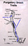 |
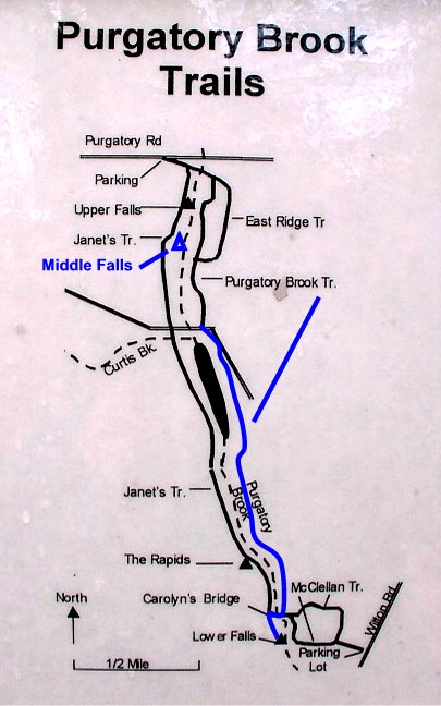
There's a trail map hanging on a tree at the trailhead, but it's
missing some things and doesn't appear to be drawn to scale.
IMPORTANT: Your Webmaster's modifications to the map are in
blue. This should help you
plan your trek through the area. Note that the accuracy is
highly suspect*. :-)
UPDATE 6/22/02: A slightly better (?) map can be found on the
June 2002 photo page. |
Our first stop (and last stop, but on the other side) was Upper Falls.
|
 |
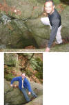
Chandra and Your Webmaster in the Beanpot
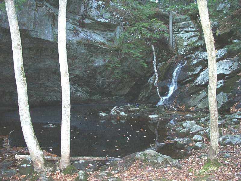
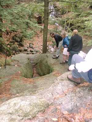
Upper Falls is the largest of the three falls in the
area, and it has the interesting geological formations. As we
approached the falls via Janet's Trail, we encountered the Devil's
Beanpot and the Devil's Footprint.
My, Pam! What big feet you have! |
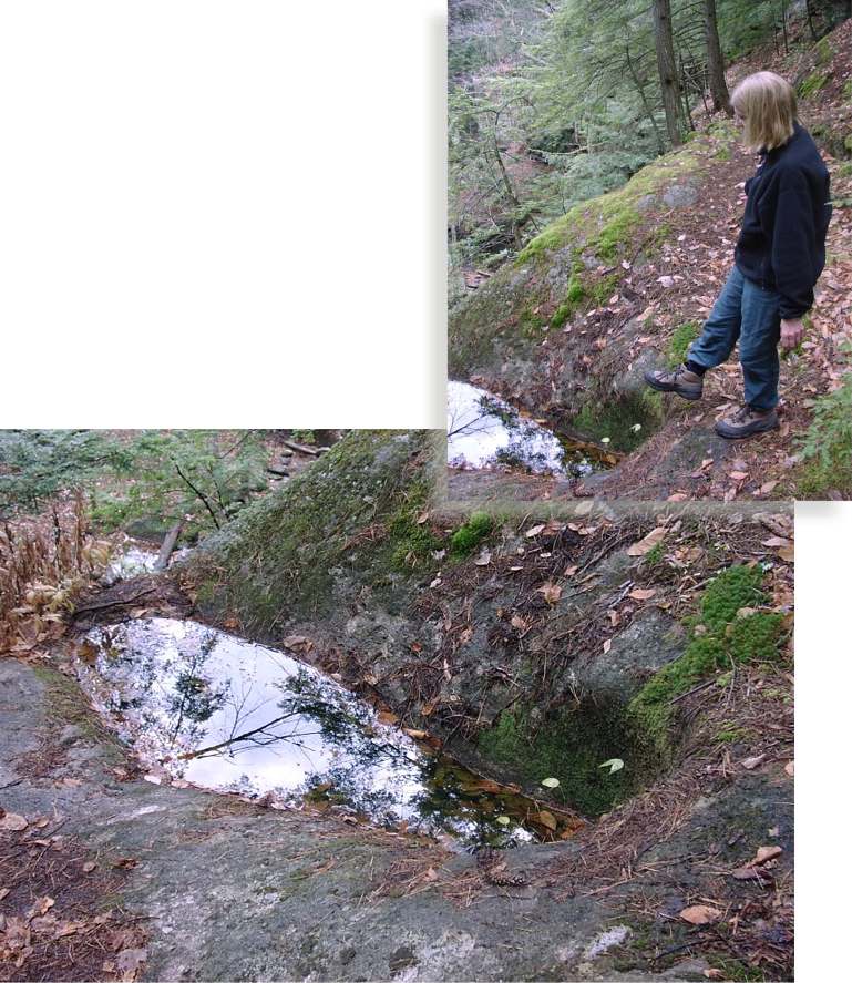
The Beanpot is a large, circular hole worn into the rock. It has
dirt at the bottom, so it probably goes down a bit further into the rock.
I can only imagine the length of time it took for the water and stones to
wear away that pothole! The Devil's Footprint is another rock
formation shaped like a large shoeprint.
Ironically you can't see the falls itself approaching by Janet's Trail!
We had to wait until our return along the Purgatory Brook Trail to get a
glimpse.
From the top: A sinuous stream wears through
the rock
|
It was on our return that we caught a glimpse of the
falls. It empties out into what was probably a large old pool,
now mostly gone, probably due to the glaciers.
Right: Your Webmaster preaches from Pulpit Rock. |
 |
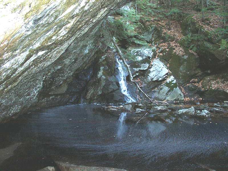
We passed by Middle Falls on Janet's Trail, but as that trail is a bit
above the river, we were unaware that Middle Falls was there. On our
return, though, we caught it. Pam and Jen swear they can see the
head of an Indian at Middle Falls
 .
Can you? .
Can you?
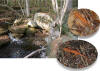
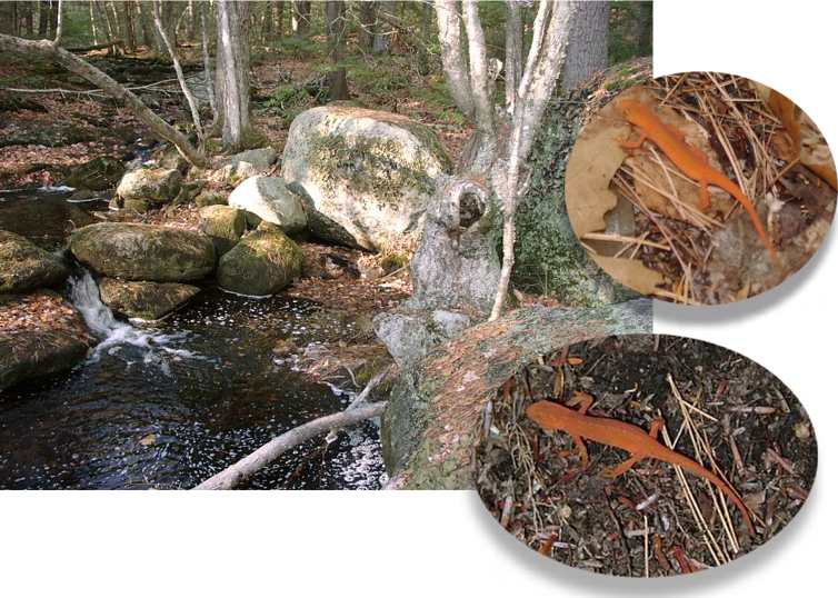
Red efts! In November??
Yep, we saw three of them.
The weather was rather warm with the
sun poking out, and there had
been some showers overnight.
Red efts love this stuff!
And so did we!
|
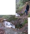
Onward we went down Janet's Trail, crossing a snowmobile trail, and
encountering a very long pond. We discovered later that this pond is
kept full by a beaver dam at the far end. And there was plenty of
beaver activity in and around that pond, too---they take down some really
big trees sometimes!
|
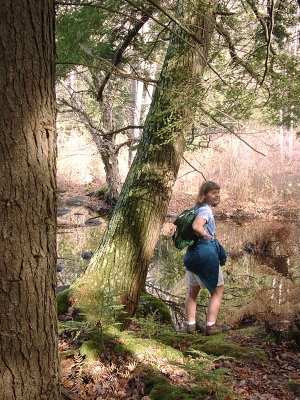 |
Left: Linda pauses at
the beaver pond.

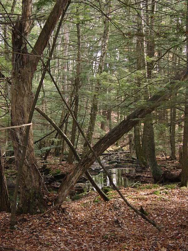
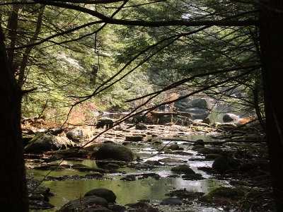
Purgatory Brook runs through some nice forest.
The ladies smilin' for the camera! |
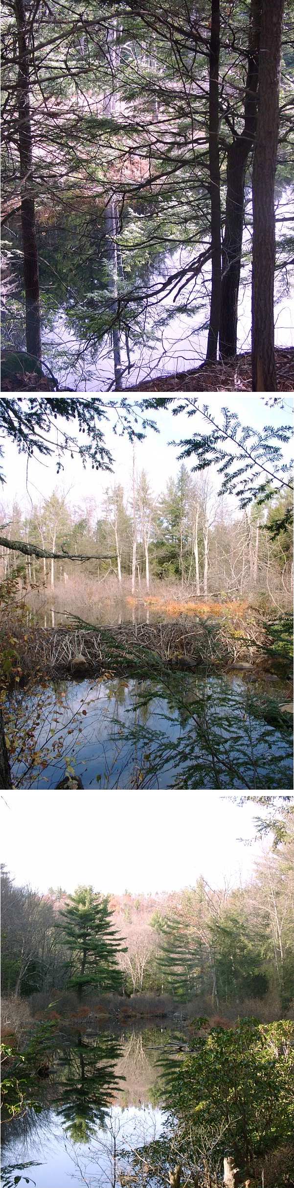
| Anyone who knows Your Webmaster knows that he's a sucker for
reflecting pools. Here are fine examples of three such. In
the middle picture you can see the beaver dam that helped to create
the large pond.
It almost doesn't seem to matter which way is up in the bottom
scene! |
 |
The extent of our walking led us to Lower Falls.
 Lower Falls elicits one of those "Oh, wow" moments as you turn to look at
the pool. A small cascade (not really a "falls") leads to the pool,
which is quiet, peaceful, and secluded. There's a bench there for
you to sit and enjoy the scenery.
Lower Falls elicits one of those "Oh, wow" moments as you turn to look at
the pool. A small cascade (not really a "falls") leads to the pool,
which is quiet, peaceful, and secluded. There's a bench there for
you to sit and enjoy the scenery.
We snacked there, then made our way across a small bridge and up the
Purgatory Brook Trail to make our return to the parking lot.
After we stopped on a neat rock and lazed in the sun for a little while,
Linda had to take off, but the rest of us continued on back up the
Purgatory Brook Trail where we got a good look at Middle Falls and Upper
Falls.
Then it was on out and over to Elisha's in Milford for
dins...of course...just as the sun was setting. * -
After looking again at the map, it's possible that we mistook "The Rapids"
for "Lower Falls". Well, then, next time we'll just have to take the
trail past what we thought was "Lower Falls" and see!
UPDATE 6/22/02: Yep, that's what we did! See an updated
map in the June 2002 trip report. |
|